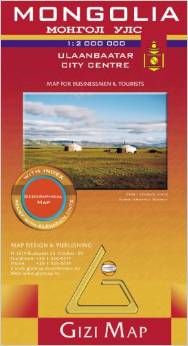
 Mongolia

Mongolia is presented in the detailed and attractive cartography at 1:2,000,000, depicting the terrain through elevation tinting and peak heights and including geographic details such as salt lakes, swamps, thermal springs, passes and peaks. Road detail includes some minor roads and indicates intermediate driving distances on main and connecting roads. Railways and airports are marked also.
Many landmarks are indicated e.g. temples, mosques, monuments, ruins, ger camps and sites of interest. Protected areas are marked, also national parks and administrative boundaries. Lines of latitude and longitude are drawn at 1░ intervals.
Names of larger towns are written in Cyrillic as well as Roman script, and a place name index is provided in both Alphabet and Cyrillic. There is an inset street map of Ulaanbaatar at 1:25,000. Sheet size 124 x 83 cm / 49 x 32.5 in.
|